Beyond the Wire: How LiDAR-Enhanced RTK Is Redefining Robotic Lawn Mowing
Update on Oct. 29, 2025, 2:18 p.m.
For decades, the promise of a robotic lawn mower came with a catch: the dreaded perimeter wire. This buried “invisible fence” was the technology’s anchor, a finicky, fragile, and inflexible solution that defined where the mower could and couldn’t go. A single break from a shovel or a garden pest could render the entire system useless.
The pursuit of a truly “smart” mower—one that could navigate with the same perceived intelligence as a self-driving car—has been the industry’s primary goal. Standard GPS wasn’t the answer; its accuracy of several meters is fine for a car on a highway but disastrous for a mower needing to distinguish a flower bed from a patch of grass.
Today, that barrier has been broken. A new generation of mowers navigates without any wires at all, relying instead on a sophisticated fusion of three distinct technologies:
1. Precision Positioning (RTK): To know exactly where it is.
2. Environmental Mapping (LiDAR): To “see” the 3D shape of the yard.
3. Object Recognition (AI Vision): To understand what it’s seeing.
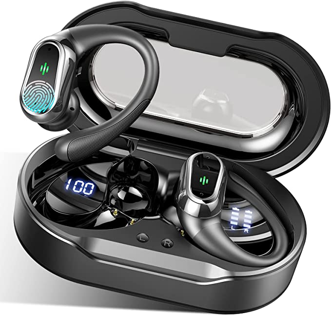
This article breaks down how these three pillars work together to create a truly autonomous mowing experience. To make these concepts concrete, we’ll use a modern example, the ECOVACS Goat A2500 RTK, as a case study to illustrate how this tech is applied in the real world.

Pillar 1: Solving “Where Am I?” with RTK
The first problem to solve is precision. A mower needs to know its position not within a few feet, but within a few centimeters. This is where Real-Time Kinematic (RTK) technology comes in.
Think of standard GPS as a single student taking a test. They might get a B- grade, or 5-meter accuracy. RTK, however, is like that same student taking the test while getting real-time corrections from a “fact-checker” (the base station) who has the answer key.
- The “Ground Truth”: An RTK system uses a small, stationary base station (often integrated into the mower’s charging dock). This base station has a fixed, known position.
- The “Correction Signal”: Both the base station and the mower receive signals from the same constellation of GPS satellites (and others, like GLONASS or Galileo). Because the base station knows its exact location, it can instantly calculate the error in the satellite signals caused by atmospheric distortion.
- The Result: The base station transmits this “error correction” data to the mower. The mower then applies this correction to its own GPS reading.
This process cancels out the atmospheric noise, taking the mower’s positioning from meter-level ambiguity down to centimeter-level certainty. The [资料] for the A2500, for example, states its “LELS RTK” achieves 2cm positioning accuracy. This is the foundation. It allows the mower to create perfect, aesthetically pleasing straight lines and ensure it doesn’t miss a spot.
Pillar 2: Solving “What’s Around Me?” with LiDAR
Knowing your exact latitude and longitude is useless if you can’t see the tree, garden gnome, or fence right in front of you. This is where the second pillar, LiDAR (Light Detection and Ranging), comes in.
LiDAR is a mapping technology. The concept is simple:
1. A spinning sensor emits pulses of laser light.
2. It measures the time it takes for that light to hit an object and bounce back.
3. This is called “Time-of-Flight” (ToF). Because the speed of light is constant, the sensor can instantly calculate the precise distance to that object.
By scanning millions of these points per second, the LiDAR unit builds a complex, 3D “point cloud” of the entire yard. It’s essentially using light to feel the shape of the world around it. This is the same core technology used by many autonomous vehicles and survey drones.
This 3D map is what enables automatic mapping. Instead of manually driving the mower around the perimeter to “teach” it the boundaries, a LiDAR-equipped mower can map the entire lawn on its own, distinguishing the physical boundaries of your property.

Pillar 3: The “Brain” - AI Vision for Understanding
We now have two powerful sensors. RTK tells the mower “You are at this exact coordinate,” and LiDAR tells it “There is a shape 10 feet in front of you.”
But this leaves a critical unanswered question: What is that shape?
LiDAR is great at detecting that something is there, but poor at classifying it. To LiDAR, a pile of leaves, a garden hose, a pet, and a small child might all appear as similar “low-lying obstacles.” This is a major safety and efficiency problem.
This is the job of the third pillar: AI-powered vision, or what ECOVACS calls “AIVI 3D.”
By combining the 3D-ToF LiDAR data with a high-resolution camera, the mower’s onboard AI can cross-reference the shape (from LiDAR) with the appearance (from the camera).
The AI is trained on a massive database of hundreds of common garden objects. It can now make intelligent decisions: * “That object is a tree trunk. I will mow around it.” * “That object is a fence. I will engage the edge-mowing mode.” * “That object is a pet’s toy (or a pet). I will give it a wide berth and mark it as a temporary obstacle.”
This AI-driven classification is the “brain” that turns a “dumb” mapping robot into a “smart” autonomous gardener. It’s how the [资料] can claim the A2500 RTK can “detect and avoid 200+ common garden obstacles.”

The Magic: How Sensor Fusion Creates a Perfect Lawn
The true innovation isn’t any single one of these technologies—it’s their sensor fusion. This is the process of combining data from all three streams (RTK, LiDAR, and AI Vision) into a single, comprehensive understanding of the world.
This fusion is what finally eliminates the perimeter wire and solves the most difficult mowing challenges:
- True Edge-to-Edge Mowing: A mower can’t just rely on GPS/RTK for edges, as the signal might be weak near a tall house. It can’t just use LiDAR, as it might mistake a tall patch of grass for a wall. By fusing the data, the AI “brain” (Pillar 3) uses the camera to identify the boundary between grass and a non-grass area (like a patio), while the RTK (Pillar 1) and LiDAR (Pillar 2) provide the precise positioning and distance to mow right up to that edge without crossing it. This is what enables features like the “TruEdge” technology mentioned in the A2500’s
[资料]. - Automatic Mapping & No-Go Zones: When the mower first maps your lawn, it’s not just “driving.” It’s building a 3D LiDAR map, labeling it with AI-Vision (that’s a flowerbed, that’s a tree), and stamping it all onto a centimeter-accurate RTK grid. This allows you, the user, to simply draw a “no-go zone” around the flowerbed in an app, and the mower understands that digital boundary in the physical world.
- Intelligent Obstacle Avoidance: When a new object appears (like a forgotten bicycle), the system doesn’t just stop. It identifies the object (AIVI), maps its location (LiDAR), and plots a new, efficient path around it (RTK), only to return to its original path once clear.

The New Standard for Lawn Care
The shift from perimeter wires to a fusion of RTK, LiDAR, and AI is not just an upgrade; it’s a fundamental change in how robotic lawn care operates. It’s the difference between a “dumb” tool that blindly follows a boundary and a truly autonomous robot that perceives, understands, and adapts to its environment.
While the ECOVACS Goat A2500 RTK is a prime example of this technology in practice, the underlying principles of sensor fusion are what will define the next generation of all high-performance robotic mowers. The era of digging, burying, and mending wires is finally coming to an end.